CLS: WARPS, Western Africa Real-Time Ports System

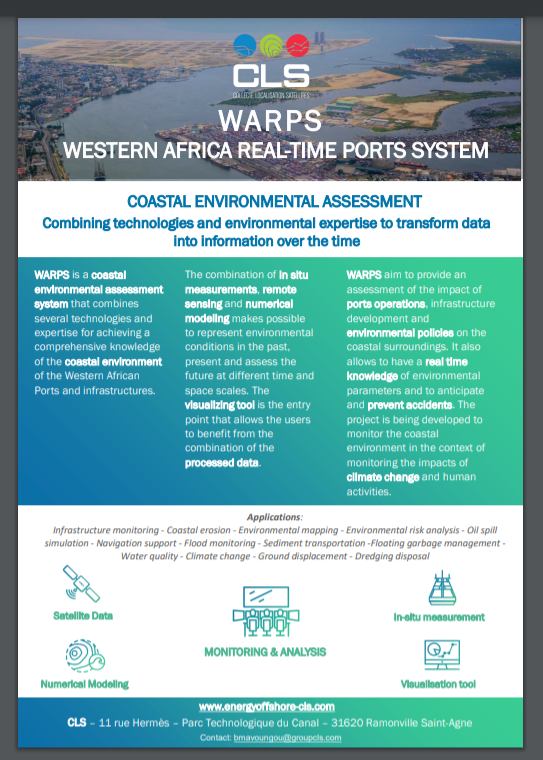
WARPS is a coastal environmental assessment system that combines several technologies and expertise for achieving a comprehensive knowledge of the coastal environment of the Western African Ports and infrastructures.

Knowledge Type
Document Date
Knowledge Thumb
CLS (Collecte Localization Satellites)
Knowledge Document
17. CLS.pdf275.19 KB

Thank you for contacting us. We will reach out to you soon.

The boundaries, colors, denominations and any other information shown on this map do not imply, on the part of The World Bank Group, any judgment on the legal status of any territory, or any endorsement or acceptance of such boundaries