News |
WACA Strengthens Land Management with Advanced Mapping Drones
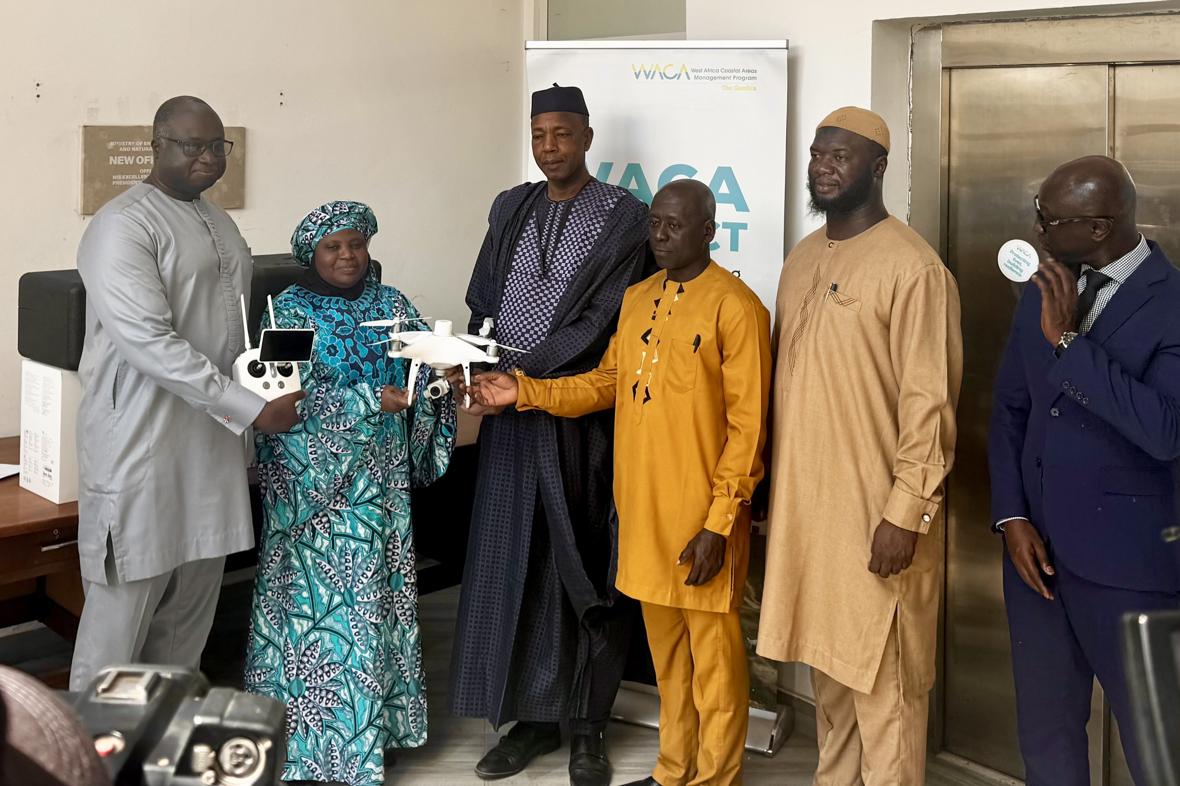
Two DJI Phantom 4 RTK drones, procured by the WACA Project, have been handed over to the Department of Physical Planning and Housing under the Ministry of Lands, Regional Government and Religious Affairs. The handover ceremony took place at the MECCNAR Complex in the presence of senior government officials and technical staff.
The drones were officially handed over by the Minister of Environment, Climate Change and Natural Resources, Hon. Rohey John Manjang, to the Minister of Lands, Regional Government and Religious Affairs, Hon. Hamat Bah.
Designed for precision mapping, the drones use advanced positioning technology to capture high-resolution aerial imagery and rapidly process data, producing highly accurate maps with centimetre-level precision. They will support the Department of Physical Planning and Housing in monitoring development, detecting encroachments and enforcing regulations along the Kotu Stream and beyond.
"Encroachment along the stream is costing the country significantly," said Minister Bah. "We need timely, accurate information to prevent illegal structures before they are established. Land must be properly managed and used responsibly, and this technology will help us do just that."
Minister Manjang said the handover reflects The Gambia's growing commitment to technology-driven solutions for addressing climate change, coastal erosion and unplanned urban development.
The Kotu Stream has faced severe encroachment in recent years, reducing its capacity to carry stormwater and causing flooding in communities that had historically been spared. To protect the physical integrity of the stream and reduce flood risks, WACA has been working with the Department of Physical Planning and Housing to monitor the area and enforce stop notices issued for all developments within the stream's boundaries.
WACA Project Coordinator Dr. Muhammed Lamin Sanyang described technology as "the most efficient solution" to the persistent encroachment challenges facing the Kotu Stream.